

Weatherford Revitalization
weatherford wayfinding 4
weatherford wayfinding 6

weatherford wayfinding 1
weatherford wayfinding 3

weatherford wayfinding 5

weatherford wayfinding 2
About This Project
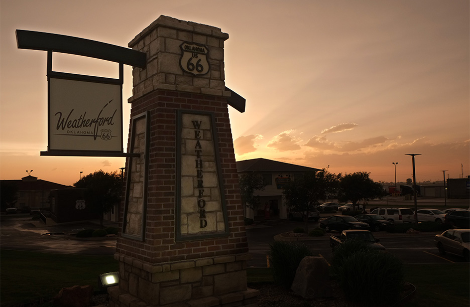
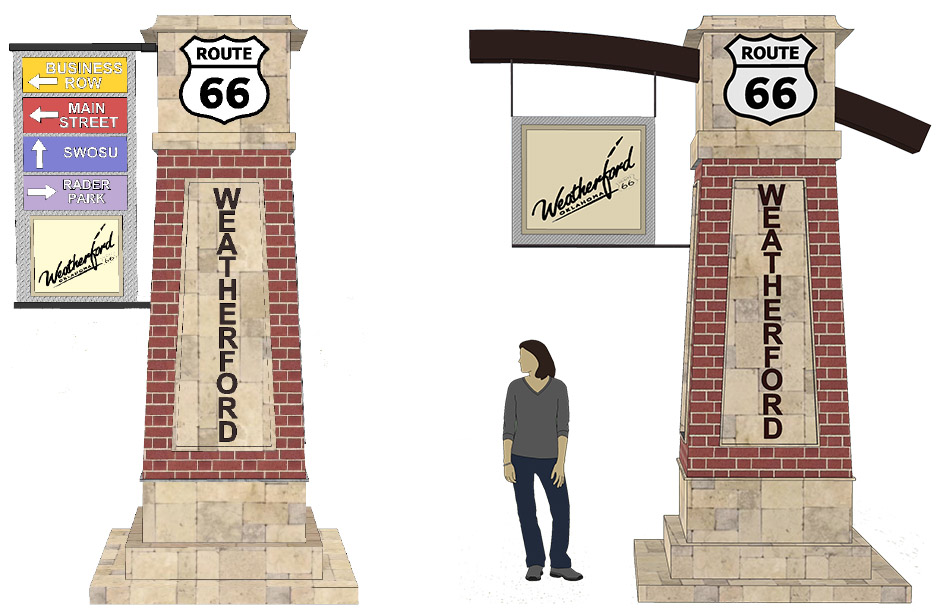
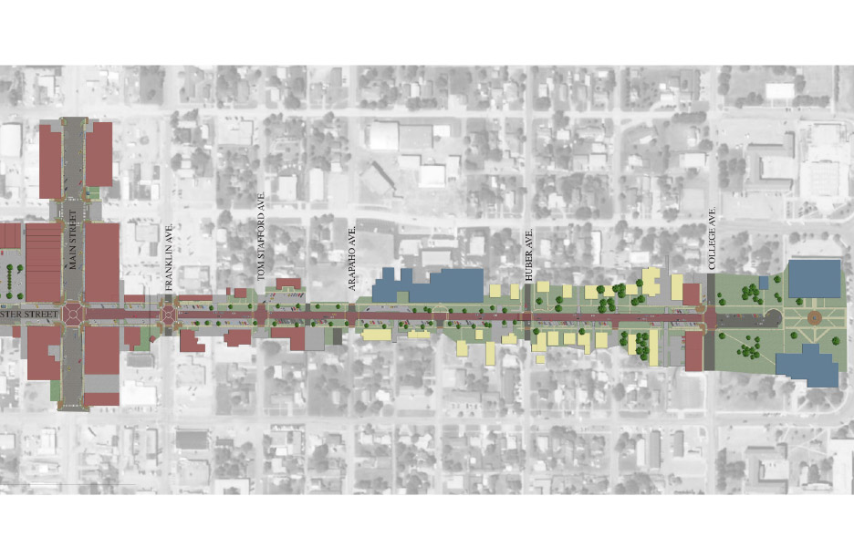
LandPlan designed monumentation, wayfinding signage and a mile long walking trail between Burcham and Main Street to provide a safe way for pedestrians to navigate the typically busy Washington Street. This is only the start of the Master Planned network of sidewalk networks that Weatherford plans throughout the major arteries of town.
As this Master Plan was developed, the key goals and objectives identified by the people of Weatherford and coordinated with ODOT were to create the following.
Create a new image for Main Street/Route 66
Creates a new “front door” for tourist and business recruitment.
Major safety improvements on Route 66, Custer St., Washington St., Davis Rd., and throughout the city.
Buried utilities for practical and aesthetic purposes.
Custer Street corridor connecting SWOSU students with the rest of the city.
Improvement of overall community aesthetic.
Services Provided
Master Plan Conceptual Development Construction Documents Construction Phase Services
Location
Weatherford, Oklahoma
Client
City of Weatherford
Completion
2013